Data-driven transport and mobility planning projects
Smart Mobility SolutionsWorks
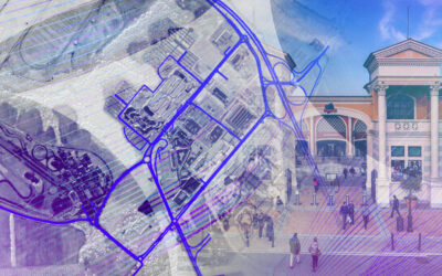
Our transport and mobility planning projects demonstrate how we transform data, analysis, and models into concrete interventions for cities, territories, and infrastructures. For over fourteen years, we have been supporting municipalities, metropolitan cities, regions, public transport operators, ports, airports, and logistics operators in developing more efficient, safe, and sustainable mobility solutions.
On this page, you will find a selection of our studies and projects: SUMP, tram lines, BRT corridors, port plans, air-climate plans, road safety monitoring, O/D matrices, impact studies, and big data-based analyses. Each project tells a different story of how transport planning studies, supported by data, become an operational tool to better guide strategic decisions.

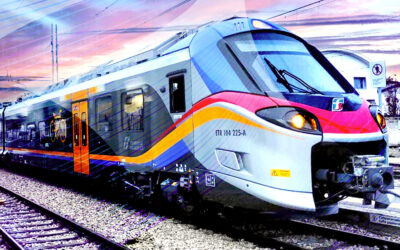
DREAM_PACE – Bologna
DREAM_PACE...

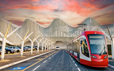
Tram Pisa
Transport analysis...

Master Plan for the Port of Marina di Carrara
Mobility at the...

Net Zero – Rome Airports
Net Zero Mobility...

MIT Security KPIs
Monitoring road...

PUMS monitoring in Livorno
Monitoring of the...
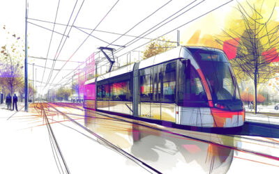
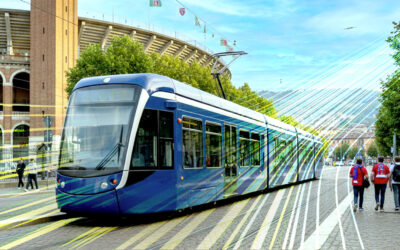
Reggio Emilia tram
Reggio Emilia tram...

Plan for the elimination of architectural barriers Terracina
Plan for the...

Plan for the Elimination of Architectural Barriers Rocca Priora
Plan for the...

Accessibility study – Naples Central Station
Accessibility...
PFTE Anagnina-Ciampino Corridor
PFTE...

Termini – Tor Vergata line
Analysis of the...
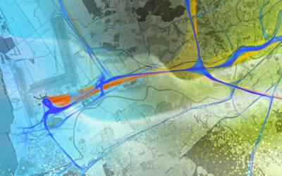
Ostia-Fiumicino corridor
Ostia - Fiumicino...
Green Belt Rome
Mobility planning:...

Environmental Islands – Rome Capital
Study of...

EAV – Mobility analysis
Analisi...

PRMT-PRMC monitoring in Lombardy
PRMT and PRMC...

Campus Bio-Medico impact study
Transport and...
O/D Matrix – South East Railways
Origin-Destination...
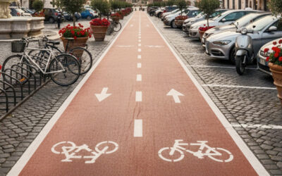
Support for Rome City Council’s Biciplan
Transport and...

Detailed plans and PFTE – Ravenna
Detailed plans and...

Milan Air Quality Plan – AMAT
Milan Air Quality...

O/D Matrix for the Emilia-Romagna Region
O/D Matrix for the...

MAR – Mobility in the Reggio Emilia Apennines
MAR – Mobility in...

Black Point – Rome Capital
Black Point Roma...
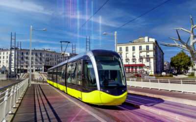
Blue Line of the Bologna tramway
PFTE of the Blue...

Reggio Emilia – Provincial Basin Plan
Reggio Emilia...

Livorno – 30 km/h Zone Plan
Plan for 30 km/h...
Impact study – Fiumicino Logistics Hub
Mobility impact...
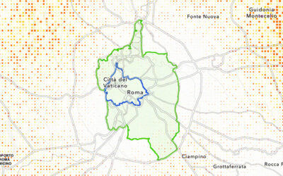
PUMS Metropolitan City of Rome Capital
PUMS Metropolitan...
SUMP Metropolitan City of Bologna
SUMP Bologna...

DOCFAP and PFTE – Tram Roma
DOCFAP and PFTE -...
New Alessandria Airport
New Alessandria...

BRT Galliera
PFTE Linea...

Emilia-Romagna PRIT freight monitoring
Monitoring of...

UEFA Mobility 2020
UEFA 2020...
Road design – Castel Romano
Traffic and...

Darwin Project – Trenord
DARWIN Project -...

REIF: freight intermodality in Emilia-Romagna
Freight...

Area Plan – Cecchignola
Cecchignola Area...

Impact study – Pomezia
Traffic Impact...

Impact study – Castelnuovo di Porto
Traffic Impact...

Traffic surveys – Tor tre Teste & Laurentina
Traffic surveys -...
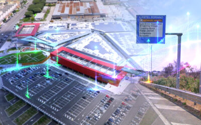
Transport study – Castel Romano Outlet
Transport study...

Extension of the M3 and M5 lines in Milan
Extension of the...

PRIT 2025 Emilia-Romagna Region
Monitoring of...
Road Safety Monitoring in Sardinia
Monitoring road...

Drive Belt for the digital logistics chain
Design of the...

School mobility – Cremona
Pre-feasibility...
For 14 years, we have been transforming big data into strategic decisions.
14
Contact Us
- Viale Luca Gaurico, 9
00143, Roma - +39 0656546119
+39 3470891843
[email protected]